Pipeline magnetic tomography
Pipeline magnetic tomography (MTM)Magnetic tomography helps inspect underground, above-ground, and subsea pipelines without interrupting the transported medium or carrying out continuous excavation. Magnetometric surveying identifies stress-concentration zones, and the results are overlaid on the route and ZULU GIS map to prioritise repairs according to actual condition.
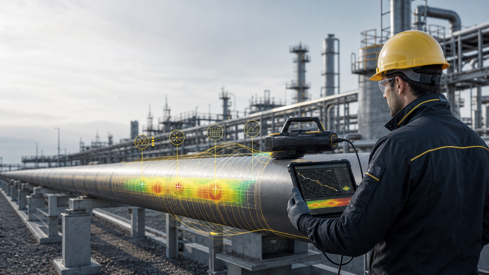
How magnetic tomography works
An operator walks the route with magnetometric equipment or examines an accessible section of an above-ground pipeline. The system records changes in the magnetic field associated with stress in the metal, then ties the data to coordinates, the route, and the engineering map.
Field scanning
Magnetometric surveying is performed along the pipe without tapping the pipeline or stopping the process.
Anomaly detection
The software analyses the magnetometric profile and identifies zones of stress concentration, potential defects, and elevated risk.
GIS integration
Results are added to the route and ZULU GIS map so the engineer can see problem sections, chainage, and the priority of inspection or repair.
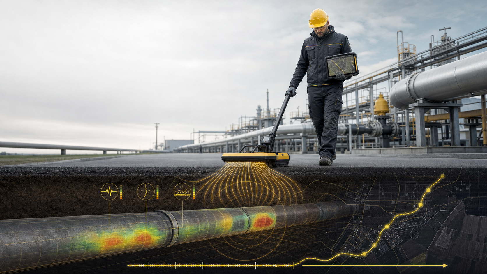
- The method is applicable to underground, above-ground, and subsea pipelines.
- Diagnostics are performed without shutting down the pipeline and without continuous excavation.
- It helps shift from schedule-based repairs to repairs based on the actual condition of the metal.
- Results can be readily combined with route maps, incident data, repair history, and operating data.